
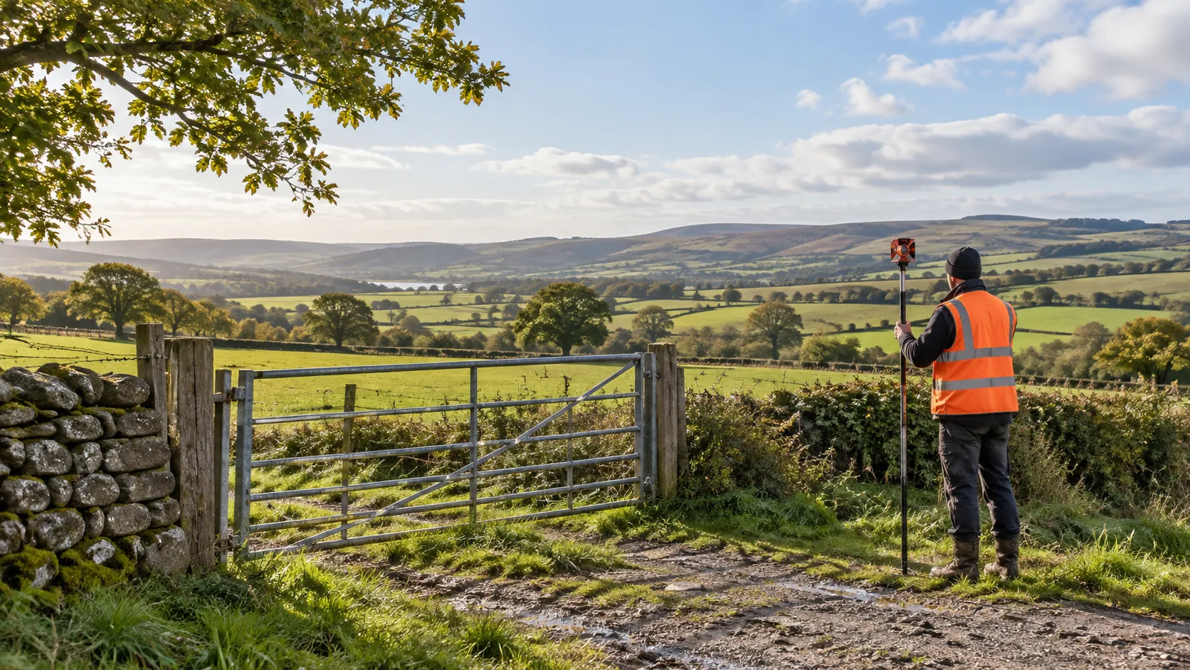
Rural Survey
Careful Mapping of Rural Land
Get a Free Quote From Us Today!
We aim to get back to you in 24 hours.
At Rural Survey, we specialise in delivering professional land and topographical surveys tailored to the needs of rural properties and agricultural landscapes. Our services support planning, design, and construction by accurately recording boundaries, levels, and existing features.
Whether you’re managing land, developing countryside projects, or preparing for construction, we have the expertise you need. Reach out today to discuss your survey requirements.
Who Is Rural Survey?
At Rural Survey, we are dedicated to providing precise and comprehensive land and topographical surveys for rural and agricultural clients. We use cutting-edge technology such as aerial drones and GPS equipment to capture detailed geospatial data, ensuring precise boundary and level measurements.
Our expertise covers a range of sectors, including farming estates, vineyards and forestry projects, where accurate terrain analysis is crucial.
In addition to standard surveying, we offer services such as soil analysis and drainage assessments to support sustainable land management. Our reports adhere to industry standards like the RICS Code of Measuring Practice, ensuring the highest accuracy for our clients.
Surveys typically take one to two weeks, depending on the project scope and size. Our surveys help inform crucial planning and design processes, supporting environmental management and construction.
Contact us to discuss your specific surveying needs.
What Services Does the company Rural Survey Provide?
At Rural Survey, we deliver a variety of surveying services tailored to rural needs, providing essential data for different projects and stakeholders.
- Land Surveys: We offer precise measurement and mapping of land boundaries and features. Our surveys include aspect measurements, helping in land registration and ownership documentation as per RICS standards.
- Topographical Surveys: We deliver detailed recording of natural and man-made site features, using equipment such as total stations and GPS units. This data is vital for architects and engineers during planning, ensuring alignment with environmental regulations.
- Boundary Surveys: For resolving land boundary disputes, we conduct precision recording with reference to historical deeds and latest geographical data. These surveys help landowners and legal entities clearly define property lines.
- Site Development Surveys: Our services support design and planning stages of development projects by providing construction firms and planners with elevation levels, drainage systems, and utility locations.
Each service is designed to meet the specific challenges of rural environments. Contact us to learn more about how we can assist with your surveying requirements.
When Is a Survey Needed?
Land and topographical surveys are essential when planning construction, development, or landscaping on rural or agricultural sites. They provide crucial information about existing site conditions, boundaries, and levels.
For construction projects, these surveys identify potential challenges, such as uneven terrain or drainage issues, by using techniques like GPS surveying and total station equipment. Penetrative methods can also assess sub-surface conditions, which is vital for foundations.
Before selling or buying land, resolving disputes, or embarking on a new project, an accurate survey ensures informed decision-making. For example, mapping boundaries with high precision can prevent legal disputes over land ownership.
We adhere to RICS standards to maintain the quality of our surveys, offering reliable data for property developers, individual landowners, and agricultural enterprises. Whether for large-scale agricultural land or small rural plots, a survey mitigates risks and supports optimal land use.
Contact us today to discuss your survey needs.
Get a Free No Obligation Quotation Today
How Does Rural Survey Work?
We follow a systematic approach to ensure precise survey results, beginning with careful planning and thorough communication.
- Initial Consultation: We discuss your project needs and specific requirements. This stage involves understanding the scope and purpose of the survey and establishing timelines.
- Site Visit: Our team conducts an on-site assessment using industry-leading surveying equipment, such as total stations and GPS receivers. This ensures precise measurements of land boundaries and topographical features.
- Data Processing: We analyse the collected data with modern software, including AutoCAD and GIS applications, to produce detailed reports and high-resolution maps that comply with RICS standards.
- Client Review: We present the findings and deliver comprehensive survey documentation, which can include 3D visualisations if required. This stage also allows you to ask questions and ensure the survey results meet your expectations.
Our goal is to deliver results that facilitate informed decision-making on any project. Please contact us to discuss your survey needs.
Who Does Rural Survey Help?
We assist a diverse range of clients within the agricultural and rural sectors, including farmers, landowners, property developers, and environmental agencies. Our expertise supports those involved in planning and managing agricultural projects, such as arable farming and livestock management, as well as countryside developments like renewable energy ventures and conservation efforts.
We offer assistance in navigating the planning permission process for barn conversions and land subdivisions, ensuring compliance with local and national regulations. Our services also extend to rural property transactions, offering valuations and surveys compliant with RICS standards.
Additionally, we aid environmental agencies with land assessment and sustainable management plans. We cater to both small-scale landowners and larger estates, providing tailored advice on everything from soil health assessment to water resource management.
If you require guidance or services in these areas, please contact us.
How Quickly Can Rural Survey Respond?
Our team at Rural Survey can typically schedule an initial consultation within a few days of your enquiry. We are equipped with advanced remote sensing tools and Geographic Information System (GIS) technology, allowing us to assess sites accurately and efficiently.
We provide services for a range of property types, from agricultural land and rural estates to residential developments and commercial facilities.
Once the initial consultation is complete, we aim to carry out site surveys using tools such as theodolites and GPS equipment for precision. Final reports are meticulously prepared and delivered typically around two to three weeks following data collection.
This timeframe may vary depending on the topography and specific requirements of the project, but our focus remains on delivering thorough and precise reports. Should you have any questions or additional needs, feel free to reach out to our responsive support team.
How Does Rural Survey Ensure Quality and Compliance?
Rural Survey is committed to maintaining high standards throughout our surveying processes. We use precise GNSS (Global Navigation Satellite System) technology and total stations to gather accurate data.
To ensure full compliance, we adhere to the RICS (Royal Institution of Chartered Surveyors) guidelines and the UK Land Surveying regulations. Our team regularly undertakes training to stay current with advancements in the field, including emerging technologies like UAV (Unmanned Aerial Vehicle) surveys for hard-to-reach areas.
We also perform thorough quality checks at every stage, from data collection to analysis, ensuring all measurements meet or exceed British Standards. Our expertise includes boundary surveys, topographical surveys, and construction site surveys, providing clients with reliable results for land development and planning applications.
Contact us today to discuss how we can support your project with exceptional precision and reliability.
Request a free quote
Why Choose Rural Survey?
Our clients trust Rural Survey for quality, reliability, and precision across all surveying needs. We specialise in rural and agricultural surveys, offering a range of services tailored to various property types, including farms, estates, and countryside properties.
Our expertise is underscored by years of experience and a deep understanding of the unique challenges these rural environments present.
- Expertise: Our team is well-versed in conducting topographic and boundary surveys, ensuring legal compliance and accuracy.
- Precision: We use advanced equipment like GPS and laser scanning to capture precise measurements, essential for planning and development.
- Commitment: Our goal is to meet client needs efficiently, with a focus on timelines and budget constraints.
- Comprehensive Reports: We produce clear and detailed final outputs, compliant with RICS standards for transparency and quality.
Choose Rural Survey for your next project and experience our reliable service.
Frequently Asked Questions
What is a topographical survey?
A topographical survey records the key features of a site, including its natural and man-made elements. At Rural Survey, we provide detailed maps of elevations, boundaries, and site features to aid planning and development.
How much does a survey typically cost?
Survey costs vary based on site size and complexity. At Rural Survey, a standard survey for a small rural site starts from around £500, with larger or more complex surveys priced accordingly.
How long does a site survey take?
A typical site survey by Rural Survey can be completed in one to two days, depending on site size and conditions. Detailed reports follow within two to three weeks.
Why choose a land survey over just architectural plans?
Land surveys provide precise measurements not included in architectural plans, such as boundary lines and topographical features. Surveys by Rural Survey enable accurate planning and design.
Can you survey sites outside rural areas?
While we specialise in rural and agricultural land, Rural Survey may consider projects outside these areas on a case-by-case basis. Contact us to discuss your specific needs.
Get a Free Quote
Transform your land management or development project with a professional survey from Rural Survey.
speak with our team today
What People are Saying About Us
★★★★★
“The surveyor from Rural Survey was a decent bloke who knew his way round a farm. Boundaries and levels were mapped in a couple of days.”
Oliver Hargreaves
London
★★★★★
“Much easier than I expected after dealing with others before. Rural Survey are first class and I would use them again.”
Jonathan Greenwood
London
★★★★★
“Rural Survey mapped our hill farm’s levels, boundaries and tracks on one clear drawing in two days, so our planning change went in on time. Highly recommended.”
Owen Jennings
London
★★★★★
“What a brilliant team! They were warm, helpful and clearly love what they do. I was absolutely thrilled with Rural Survey and cannot recommend them enough.”
Liam Hargreaves
London
Our Locations
We are proud to work nationally across the UK, allowing us to ensure we can provide services to you.
For a full list of counties we cover in the UK, see below.